Why this road.
The Wild Atlantic Way works best as permission to linger on Ireland's western edge. Its peninsulas make the sea appear, disappear and return from a new direction, while coastal settlements offer a human scale between the larger views. A whole-route journey reveals considerable variety, but a single region can sustain a rewarding visit. The interest for a rider is the relationship between road, weather and community: the next sheltered stop can matter as much as the next headland.
The rhythm of the ride.
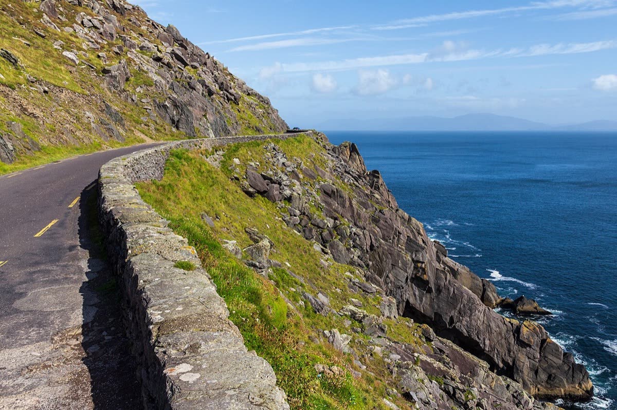
This is a signed touring route through an existing road network, not a single continuous highway. Expect the rhythm to change between towns, peninsulas and local coastal lanes. Dingle's official guidance illustrates the care required: parts of Slea Head are very narrow, visitors follow the clockwise system, and local signs take priority over navigation suggestions. Give cyclists, walkers and farm animals space. Build short daily plans with room to wait, stop and adjust, rather than translating the total kilometres into motorway hours.
Places on the corridor
- Inishowen Peninsula, County Donegal
- Donegal
- Sligo
- Westport
- Galway
- Dingle
- Kenmare
- Kinsale, County Cork
Orientation only. These places do not form a turn-by-turn itinerary or a downloadable navigation track.
Make time for the place.
The route connects coastal communities and Irish-speaking areas as well as viewpoints. Around Dingle, the visitor economy includes local food producers, pottery, museums and farm accommodation; farming remains part of the road environment. A slower stop can open a window onto language and craft. Keep village access and working movements clear, and treat a small community as a place people live throughout the year.
Season & access.
Editorial preference: late spring to early autumn for a longer touring day; Atlantic weather still shapes every day's plan. Summer brings heavier visitor traffic on popular peninsulas.
- Narrow and single-lane sections occur on peninsula roads
- Follow Slea Head's visitor direction signs
- Allow for walkers, cyclists and livestock
- Summer coaches can constrain passing space
Conditions, restrictions and ferry operations can change. A source review is not a live road report. Use current local information and ride within your experience.
Behind this introduction.
Official and primary sources reviewed on 4 November 2026. Distances refer to the scope stated above; recommended time and seasonal preferences are editorial judgements.
- Discover Kerry — Wild Atlantic Way
2500 km national route, Donegal–Cork scope, coastal communities, Gaeltachts and Kerry routing
- Dingle Peninsula Tourism — Slea Head Drive
Official local driving direction, narrow roads, summer buses, livestock, crafts, language and visitor facilities
- Heritage Maps — Wild Atlantic Way main route dataset
2500 km driving-route scope, nine counties and Inishowen–Kinsale endpoints
These links provide evidence and planning context. They do not imply a partnership or endorsement.