World Riders Rally
← The Rural Roads Atlas

Helgelandskysten

Ferries stitch a coast of islands, mountain silhouettes and glacier-fed fjords.

Source reviewed · 4 November 2026 · Not field-ridden by World Riders Rally

Map & village stops ↓
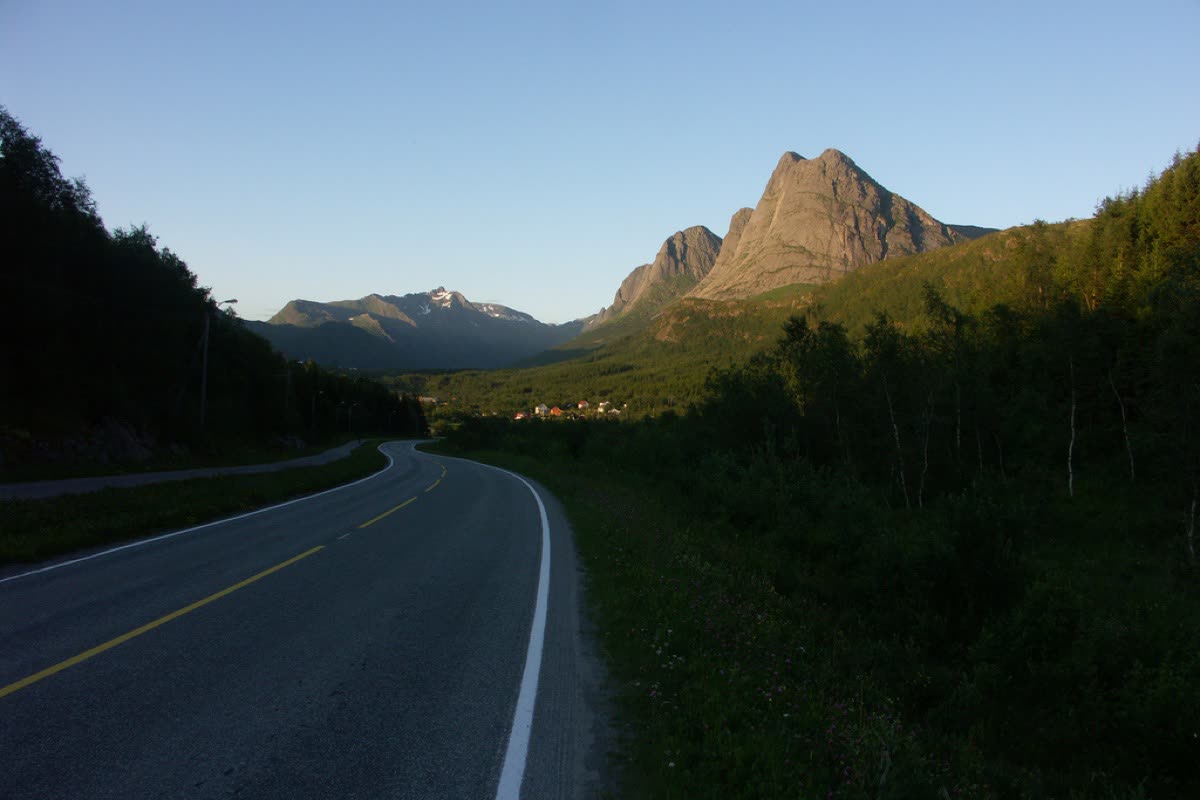
County Road 17 curves towards a rugged mountain above a green Norwegian valley.
County Road 17 in Meløy, Nordland, looking towards Spilderdalen, Norway. Photo: Arno van den Tillaart · original · CC BY-SA 2.0

Map the journey.

Find the start, finish and places worth a pause. Select a marker or a place name to explore.

7 selected places

The interactive map needs JavaScript and an internet connection. All places and external map links are listed alongside.

S StartF Finish● Village / town◇ Landscape / culture

Pins mark selected places; they are not a navigation track. Build your riding route using the official road and ferry information. The Holm pin uses the road authority's published endpoint, south of the ferry quay. Plan all six ferry crossings separately.

Places: linked local guides · Coordinates: OpenStreetMap & cited route authorities · Base map: © OpenStreetMap contributors · Report a map issue

  1. S

    Start

    Holm area — official southern endpoint

    The authority's published southern coordinate anchors the Holm area. Continue towards the Holm–Vennesund ferry; these selected markers omit intervening road sections and crossings that still need their own travel planning.

  2. 1

    Village / small town

    Brønnøysund

    The southern Helgeland coastal town provides time ashore between ferry stages. A town walk and locally rooted food give context to the surrounding farming and fishing country before the route's Torghatten branch.

  3. 2

    Landscape / cultural stop

    Torghatten — official route detour

    The mountain with the natural hole is a landmark on the official Torghatten road detour, already included in the published scenic-route scope. Park for the walking approach; the mountain itself is not a ride-through point.

  4. 3

    Village / small town

    Sandnessjøen

    The coastal town sits beneath the Seven Sisters mountain backdrop. Cafés and the Kulturbadet cultural centre provide reasons to spend time in town; trips to nearby islands are separate extensions of this mainland corridor.

  5. 4

    Village / small town

    Nesna

    Nesna's peninsula settlement combines ferry connections with a history of trade, church life and education. Walk past the wooden church and older Nordland houses; island visits from its harbour require an additional sailing plan.

  6. 5

    Village / small town

    Jektvik

    The village on Værangen's southern shore is the landing after the Kilboghamn crossing northbound. Its translucent ferry waiting room is a distinctive architectural pause; allow time for ferry logistics as well as village observation.

  7. F

    Finish

    Godøystraumen — northern endpoint

    The northern endpoint is the Godøystraumen area, with a designated rest stop overlooking the tidal stream and sea. This completes the published scenic-route scope; continuing to Bodø belongs to a longer coastal journey.

Why this road.

Helgelandskysten gives a motorcycle journey a maritime timetable. Fjords interrupt the land, ferries replace stretches of road, and the view shifts between cultivated shores, islands and northern peaks. The official scenic route is a defined part of the longer Kystriksveien, making its scope useful for planning. Ride it as several linked coastal days, leaving space to understand the small settlements along the way. A detour into the islands is another journey, not a free addition to the published mileage.

The rhythm of the ride.

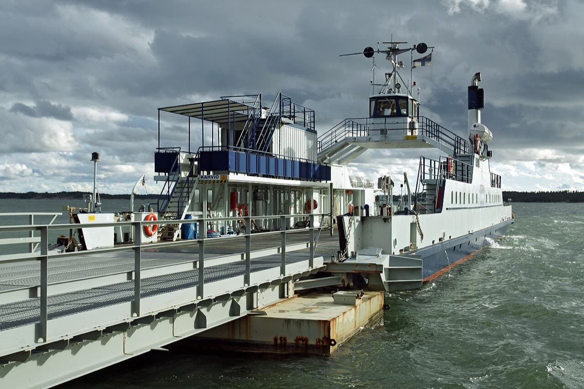
The official route follows road 17, with roads 76 and 7234 for Torghatten. Six vehicle ferry links break up the riding; the Kilboghamn–Jektvik crossing passes the Arctic Circle. Budget time for loading, waiting and changing schedules as well as kilometres. Some road sections include long tunnels. The scenic-route authority provides a route GPX, but check its direction and adapt overnight stops yourself. The 433 km figure covers this designated itinerary, not the full Steinkjer–Bodø coastal highway or optional island excursions.

Places on the corridor

  1. Holm
  2. Brønnøysund
  3. Torghatten
  4. Sandnessjøen
  5. Nesna
  6. Jektvik
  7. Ureddplassen
  8. Godøystraumen

Orientation only. These places do not form a turn-by-turn itinerary or a downloadable navigation track.

Make time for the place.

The regional tourism directory pairs coastal scenery with museums, farm stays, cafés and fishing heritage. Brønnøysund is a place to spend time on foot; Sandnessjøen and Nesna are useful settlement stops. If adding Dønna, the small chocolate producer Sjokoladebrygga is one documented island enterprise, reached on a separate detour. The point is to make room for coastal working life, without suggesting any business is a rally partner.

Season & access.

Editorial preference: the main summer touring season, with enough flexibility for coastal weather. Check official road alerts and each ferry operator's current timetable close to travel; this source review does not establish current access or sailing availability.

  • Check all six vehicle ferry connections before fixing overnight stops.
  • Include time for long tunnels as well as ferry crossings.
  • Optional island sailings add distance and timetable dependencies beyond the designated route.

Conditions, restrictions and ferry operations can change. A source review is not a live road report. Use current local information and ride within your experience.

Behind this introduction.

Official and primary sources reviewed on 4 November 2026. Distances refer to the scope stated above; recommended time and seasonal preferences are editorial judgements.

  1. Norwegian Scenic Routes — Helgelandskysten

    433 km official scope, six named ferries, Torghatten detour, road numbers, tunnels and Arctic Circle crossing.

  2. Visit Helgeland — The Helgeland coast

    Coastal settlements, local culture, museums and island businesses including Dønna's chocolate producer.

  3. Visit Helgeland — Coastal Route

    Kystriksveien context and advice to allow several days or a week; official road-authority scope takes precedence for endpoints.

These links provide evidence and planning context. They do not imply a partnership or endorsement.