Why this road.
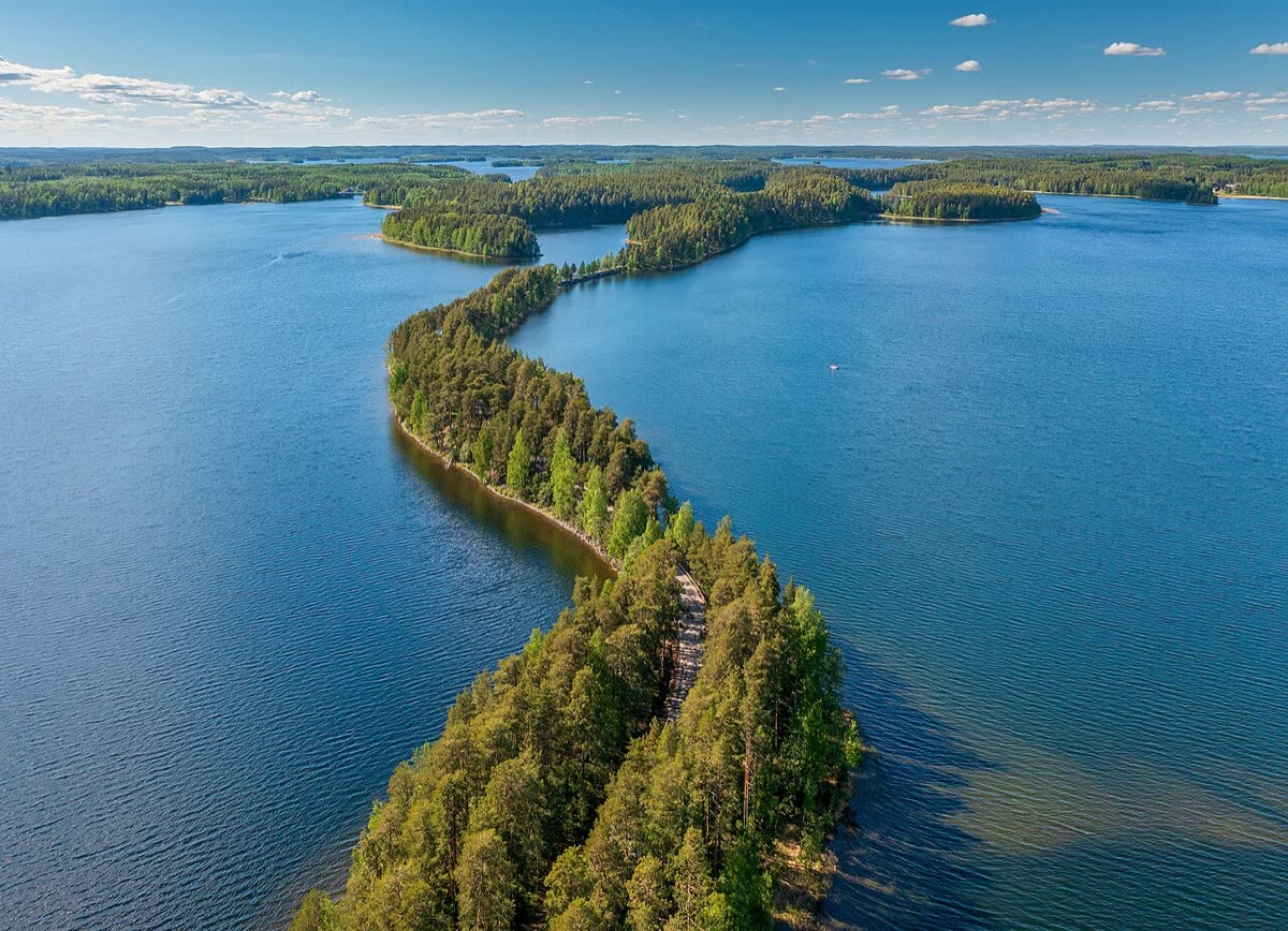
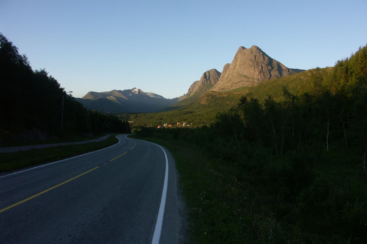
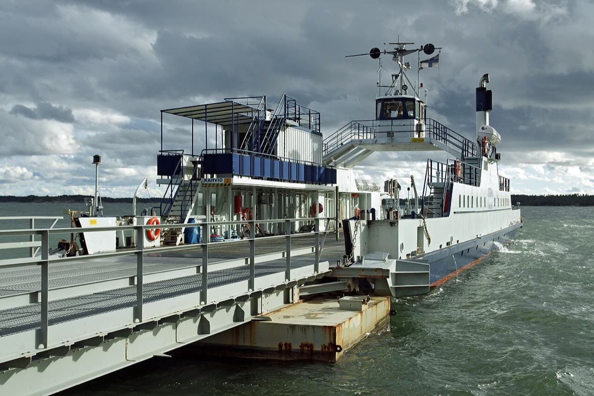
This Baltic circuit makes the water part of the journey. Road sections connect island villages, fields and wooded shores; ferries open the view beyond the trees. The pleasure for a touring rider is the repeated change of scale, from a mainland town to a small harbour and then a short ribbon of island road. It is also a useful place to notice how ordinary services sustain island life. Treat this as an independent planning suggestion, with time ashore built into each day.
The rhythm of the ride.
Use the public vehicle roads and car ferries around the full circuit. The tourism guide also describes cycling alternatives, so its individual leg distances should not be copied into motorcycle navigation. Main-road sections can be narrow and busy, while Iniö's smaller roads have a different rhythm. The northern return goes through the mainland via Mietoinen and Merimasku: the Hakkenpää–Teersalo light-traffic shortcut does not carry cars. Plan ferry connections before setting daily mileage and leave room for village access spurs.
Places on the corridor
- Turku
- Parainen / Pargas
- Nauvo / Nagu
- Korppoo / Korpo
- Houtskari / Houtskär
- Iniö
- Kustavi / Gustavs
- Turku
Orientation only. These places do not form a turn-by-turn itinerary or a downloadable navigation track.
Make time for the place.
Nagu's harbour shops and restaurants, Houtskär's maritime museum and red boathouses, and Kustavi's craft village give reasons to stop beyond the viewpoint. The official map identifies groceries, cafés, accommodation and fuel separately, useful when deciding where a rural overnight belongs. Buy provisions locally and allow time for the island villages themselves. These are existing places to explore, with no partnership or hosted visit implied.
Season & access.
Plan the complete circuit around seasonal ferry operation, generally May–September. The official page reviewed already advertises 7 May–12 September 2027; verify the intended year's schedules before departure. This is not a live access report.
- Check each vehicle ferry's timetable; some links run only in summer.
- Keep cycling paths and light-traffic ferry alternatives out of motorcycle navigation.
- Allow extra time on narrow mainland and island road sections.
Conditions, restrictions and ferry operations can change. A source review is not a live road report. Use current local information and ride within your experience.
Behind this introduction.
Official and primary sources reviewed on 4 November 2026. Distances refer to the scope stated above; recommended time and seasonal preferences are editorial judgements.
- Visit Parainen — The Archipelago Trail
Advertised 250 km circuit; car access; seasonal ferries; vehicle-versus-cycle alternatives and road character.
- Visit Parainen — official Archipelago Trail map (2026)
Full circuit geography, vehicle ferry versus no-car connections, village culture and service symbols.
- Visit Parainen — Archipelago FAQ
250 km full route including about 220 km on land; ferry timing and seasonal services; reservations vary by connection.
These links provide evidence and planning context. They do not imply a partnership or endorsement.