Why this road.
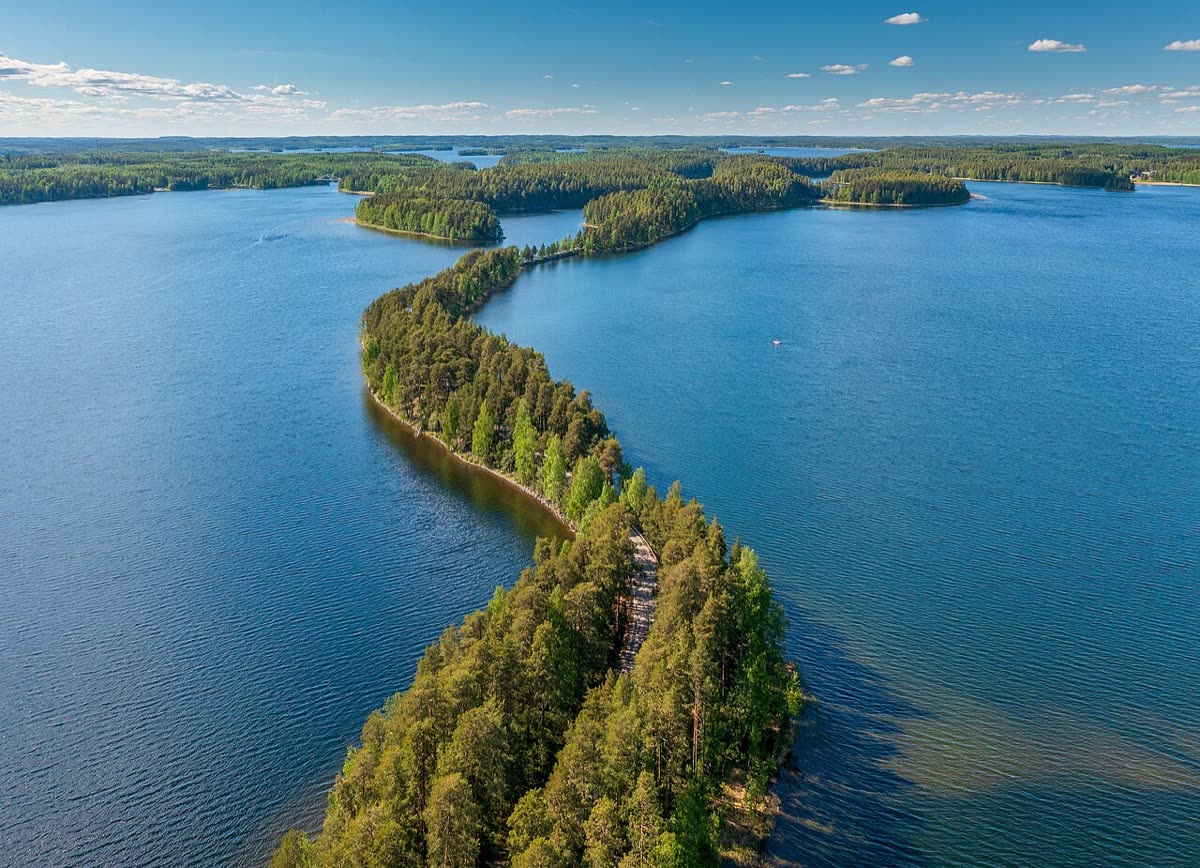
Punkaharju rewards a very short ride with an unusually close relationship between road, water and forest. The ridge was shaped as the ice withdrew, and its narrow line became a historic travel corridor. Today Harjutie is a scenic pause within a longer Saimaa journey, rather than a whole touring day measured in kilometres. Stop, put the motorcycle aside and walk: the changing lake views and the area's long history of nature tourism become clearer at a slower pace.
The rhythm of the ride.
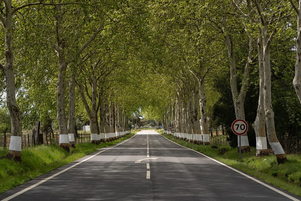
Follow Harjutie on the ridge rather than letting navigation keep you on the road 14 bypass. Visit Savonlinna describes the road itself as approximately six kilometres; larger cycling itineraries in the same guide are separate routes. Use established access roads for Lusto and Kruunupuisto and continue on foot for the reserve paths. The southern junction returns to busy road 14. Expect visitors crossing between paths and facilities, particularly in the midsummer peak, and choose designated parking before looking at the lakes.
Places on the corridor
- Harjutie's northern connection with road 14 near Tuunaansaari
- Tuunaansalmi
- Hotelli Punkaharju
- Lusto (short access spur)
- Kruunupuisto (access spur)
- Kuikonniemi
- Harjutie's southern connection with road 14 toward Punkaharju village
Orientation only. These places do not form a turn-by-turn itinerary or a downloadable navigation track.
Make time for the place.
The Finnish Forest Museum Lusto makes the relationship between people and forest part of the visit, not merely a backdrop. Nearby accommodation, restaurant and museum services concentrate around Tuunaansaari and the historic ridge tourism area. A meal or museum visit can give this short road a full afternoon's substance. Any wider loop through lakeside villages should be planned separately; it is not included in the ridge-road distance.
Season & access.
Editorial preference: late spring to early autumn in suitable riding weather. The reserve identifies midsummer through early August as its busiest period. Check weather, road conditions and individual attraction opening times; no present-day road access is asserted.
- Motor vehicles must remain on roads designated for them inside the reserve.
- Camping and making fires are prohibited within Punkaharju Nature Reserve.
- Watch for people crossing Harjutie between reserve paths.
- Carry away litter from countryside stops.
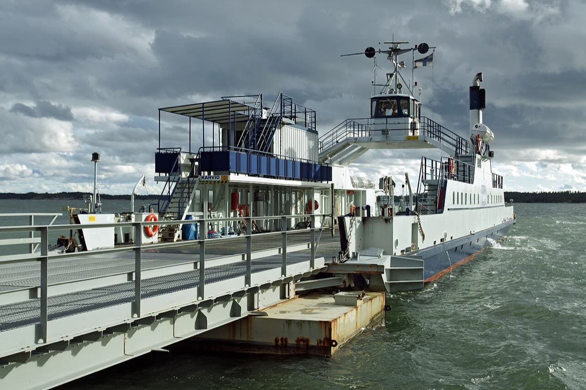
Conditions, restrictions and ferry operations can change. A source review is not a live road report. Use current local information and ride within your experience.
Behind this introduction.
Official and primary sources reviewed on 4 November 2026. Distances refer to the scope stated above; recommended time and seasonal preferences are editorial judgements.
- Visit Savonlinna — Punkaharju
Ridge formation, historic road, national landscape and forest museum context.
- Visit Savonlinna — Pihlajaveden Polkasu route guide
Harjutie approximately 6 km; road 14 junction; nearby tourism services. Its wider cycle route is not proposed as a motorcycle route.
- Metsähallitus — Punkaharju reserve instructions
Designated motor roads, camping/fire restrictions, litter and peak visitor season.
These links provide evidence and planning context. They do not imply a partnership or endorsement.