Why this road.
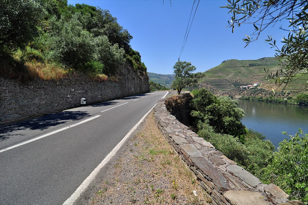
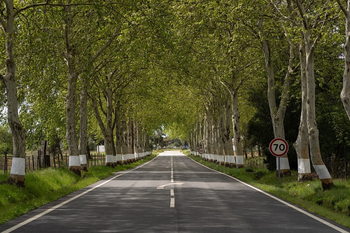
The N2 offers a long conversation with inland Portugal. Thermal towns give way to the Douro's worked slopes, the cultural centres of the Beiras and the broader horizons south of the Tagus. Its attraction is the changing scale of ordinary life: a town square, a river crossing, a stretch of countryside, then another place with its own story. A motorcycle makes those transitions tangible, provided the journey leaves room to stop and look beyond the familiar kilometre markers.
The rhythm of the ride.
Treat the N2 as a sequence of local roads rather than a uniform touring highway. The mountainous north and Douro crossing ask for a different rhythm from the Alentejo plains; towns repeatedly interrupt the countryside. The historic 739-kilometre identity remains useful, but Portugal's automobile club notes that changes have shortened the present road alignment. Choose an itinerary before setting out, check where navigation substitutes another road, and let each day's distance follow the terrain and intended stops rather than the badge.
Places on the corridor
- Chaves
- Vila Real
- Peso da Régua
- Viseu
- Sertã
- Abrantes
- São Brás de Alportel
- Faro
Orientation only. These places do not form a turn-by-turn itinerary or a downloadable navigation track.
Make time for the place.
The route crosses wine landscapes in the Douro and Dão, then regions where cork oaks, traditional singing and cowbell making form part of the cultural record. Museums and small-town stops help explain that work without reducing the countryside to scenery. Buying meals and supplies along the way is an editorial way to make a touring journey attentive to the places it passes.
Season & access.
Editorial preference: spring or early autumn; check the forecast across both northern mountains and the warmer southern interior. Summer riding needs time for heat breaks.
- Historic distance and present road alignment differ
- Northern mountain sectors need a slower allowance
- Town passages interrupt riding time
- Plan breaks for hot summer days
Conditions, restrictions and ferry operations can change. A source review is not a live road report. Use current local information and ride within your experience.
Behind this introduction.
Official and primary sources reviewed on 4 November 2026. Distances refer to the scope stated above; recommended time and seasonal preferences are editorial judgements.
- Visit Portugal — From the north to the south, along E.N. 2
Historic 739 km scope, endpoints, waypoints, mountain/plain progression, regional culture and summer heat context
- Automóvel Club de Portugal — De Norte a Sul pela mítica N2
Historic 739.260 km identity versus changed present alignment; road-book planning
These links provide evidence and planning context. They do not imply a partnership or endorsement.