Why this road.
This route offers a gentler kind of motorcycle journey, organised around the spaces between towns as much as their famous silhouettes. The Main and Tauber country, enclosed streets and open southern landscapes create a gradual transition towards the Alps. Its long-established tourism identity makes it easy to concentrate on a few places in depth. An overnight stop can reveal a town after the day's visitors leave, while a morning walk gives the next riding stage a more grounded beginning.
The rhythm of the ride.
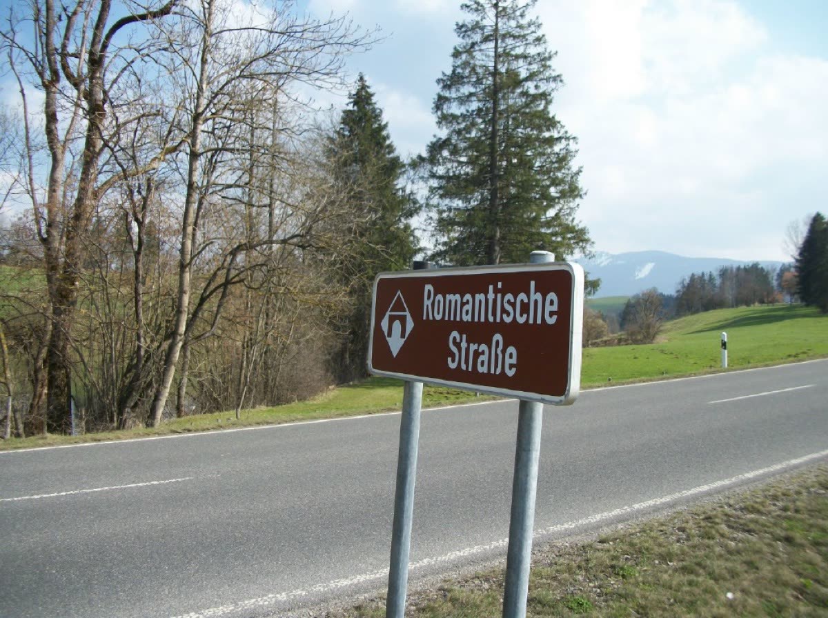
Follow the current driving route and its brown signs rather than assuming an older distance or a cycle-route track describes the same journey. The route association now gives 460 kilometres linking 29 member places; its cycling and walking itineraries are longer and separate. Expect repeated transitions between rural roads and town approaches, with cultural stops setting the day's pace. This is a journey for steady observation and short stages. Park considerately, explore historic centres on foot, and resume the road without a tight arrival deadline.
Places on the corridor
- Würzburg
- Weikersheim
- Rothenburg ob der Tauber
- Dinkelsbühl
- Nördlingen
- Augsburg
- Landsberg am Lech
- Füssen
Orientation only. These places do not form a turn-by-turn itinerary or a downloadable navigation track.
Make time for the place.
The route begins among Franconian wine landscapes and continues through towns whose markets, food traditions and hospitality are part of its attraction. Southwards, meadows and the Alpine foreland replace the northern river-country setting. A village meal, a regional shop or a longer stay can help connect those landscapes with everyday work. Select a handful of places and give them time rather than collecting town names.
Season & access.
Editorial preference: late spring to early autumn for countryside touring. Historic towns can be visited year round, but motorcycle plans need a suitable daily forecast, especially towards the Alps.
- Use the 460 km driving alignment, not the separate cycle route
- Historic-centre visits require time off the motorcycle
- Do not plan every one of the 29 towns as a quick stop
- Check the current route map rather than older distance claims
Conditions, restrictions and ferry operations can change. A source review is not a live road report. Use current local information and ride within your experience.
Behind this introduction.
Official and primary sources reviewed on 4 November 2026. Distances refer to the scope stated above; recommended time and seasonal preferences are editorial judgements.
- Romantic Road Association — official route
Current 460 km scope,29 places, endpoints, cultural and hospitality context
- Romantic Road Association — official route map
Driving route and separate 500 km cycling/walking routes, waypoints and regional landscape descriptions
These links provide evidence and planning context. They do not imply a partnership or endorsement.