Why this road.
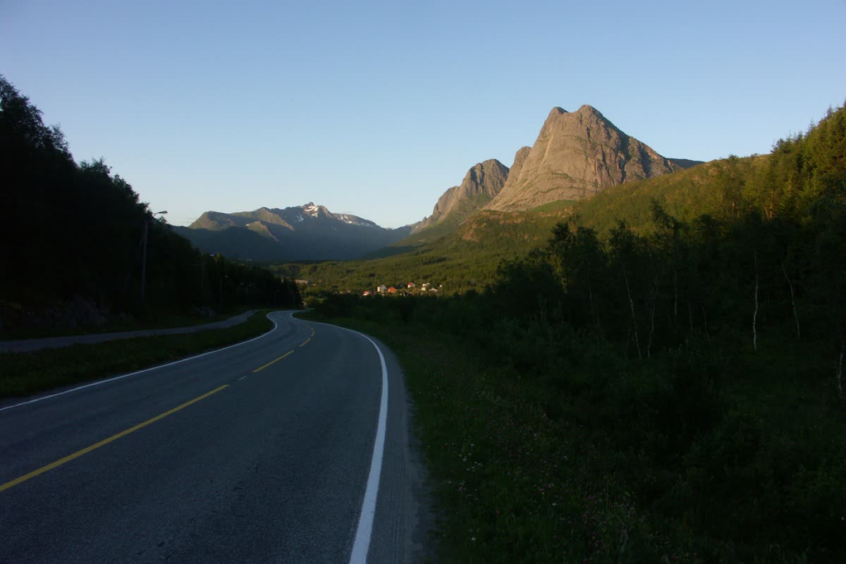
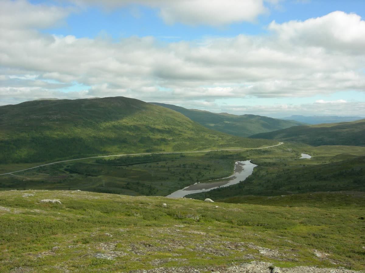
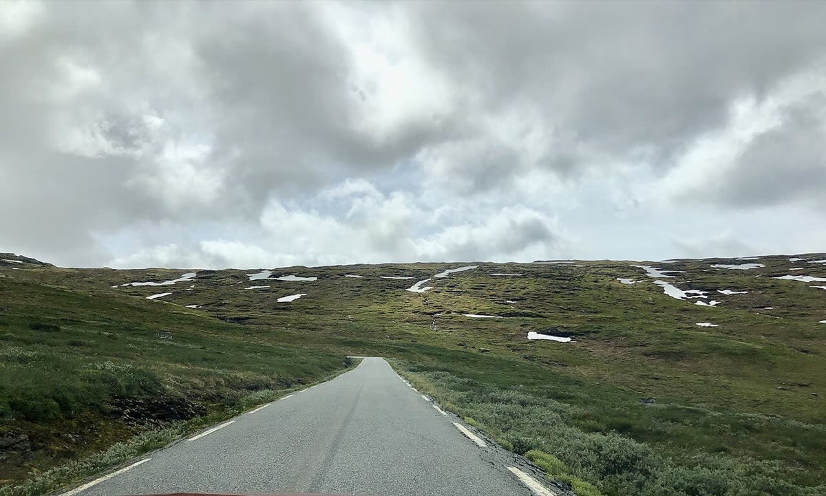
Aurlandsfjellet compresses a large landscape change into a short crossing. The cultivated valleys fall away, trees thin out, and a bare plateau takes over before the road returns to the fjord. Its appeal is the contrast, especially when snow remains beside the summer road. Stegastein is the famous view, but the quieter stops higher up deserve time too. This is a proposed independent touring choice; no group crossing or field research visit is confirmed by its inclusion here.
The rhythm of the ride.
Take road 5627 over the mountain for the scenic crossing, rather than the tunnel connection between the two fjord settlements. The official route rises from sea level to 1,308 metres. Long climbs and the descent to Aurland make a measured pace more useful than the short distance suggests. Traffic can be heavy between Stegastein and the fjord in summer. If returning through the Lærdal Tunnel, plan that separately: the tunnel is 24.5 km long, with approach roads beyond that figure.
Places on the corridor
- Lærdalsøyri
- Erdalen
- Sluppen
- Vedahaugane
- Flotane
- Stegastein
- Aurlandsvangen
Orientation only. These places do not form a turn-by-turn itinerary or a downloadable navigation track.
Make time for the place.
Allow time at both ends rather than treating them only as fuel stops. Lærdal's valley supports fruit, berry and vegetable producers, while Aurland has a bakery and the farm shop at Sogn's agricultural school. These provide concrete ways to connect a mountain ride with the land below it. Opening times and seasonal produce need checking directly. No visit, tasting or institutional relationship is arranged through this route note.
Season & access.
A summer crossing subject to confirmed opening. The road authority records past openings between early May and early June and closures in October or November; dates vary. The mountain may close at night or in poor weather even after opening. Check live alerts before setting out.
- The mountain crossing is closed in winter; year-round access to Stegastein does not mean the whole route is open.
- After seasonal opening, night or bad-weather closures can still occur.
- Expect summer traffic on the Stegastein–Aurland section.
Conditions, restrictions and ferry operations can change. A source review is not a live road report. Use current local information and ride within your experience.
Behind this introduction.
Official and primary sources reviewed on 4 November 2026. Distances refer to the scope stated above; recommended time and seasonal preferences are editorial judgements.
- Norwegian Scenic Routes — Aurlandsfjellet
47 km scope, road 5627, elevation, official stops, summer traffic, winter closure and variable opening conditions.
- Visit Sognefjord — Local produce along the Sognefjord
Lærdal produce and farm sales; Aurland bakery and agricultural-school farm shop.
These links provide evidence and planning context. They do not imply a partnership or endorsement.