Why this road.
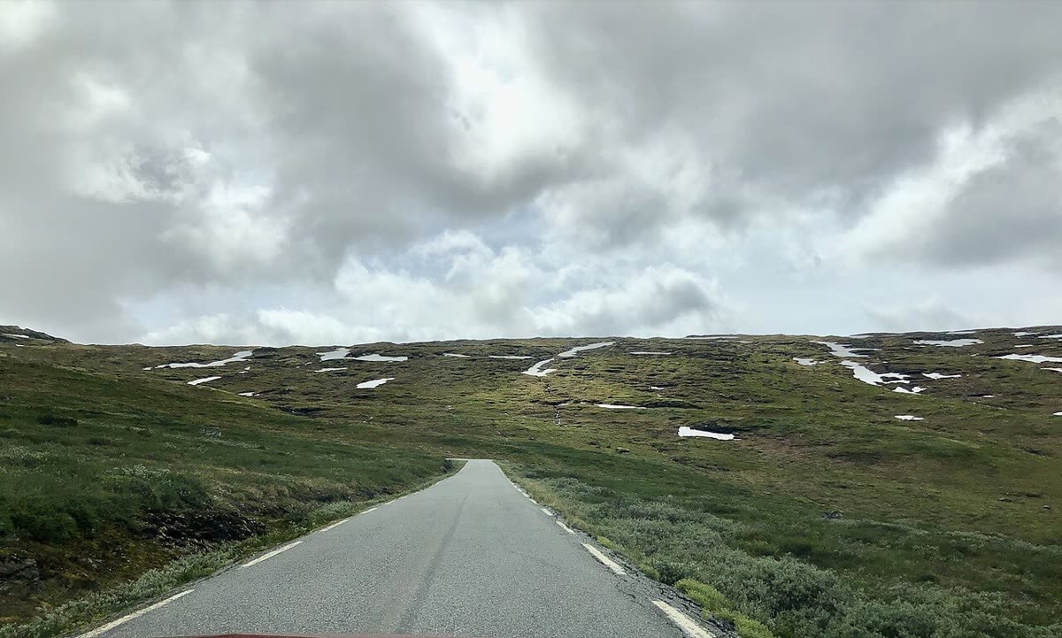
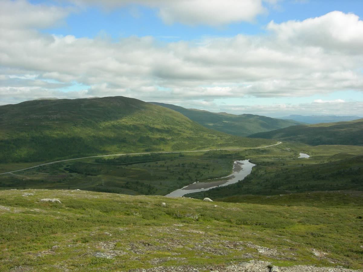
The Wilderness Road links long northern distances with a remarkably open mountain crossing. Forests and lakes give way to Stekenjokk, where a paved road reaches the treeless uplands. The name should not hide the people who live and work here: this is a Sámi cultural landscape with reindeer husbandry and important church towns. For a touring rider, the full circuit offers a way to hold those places together, provided the itinerary leaves room for local interpretation and village stops.
The rhythm of the ride.
This is a road touring circuit with a paved high section, rather than an invitation to ride mountain tracks. The complete loop uses the inland return through Dorotea and the E45; a one-way crossing over Stekenjokk is a different distance. Treat the plateau as a slow landscape passage, with stops only where permitted. The municipal route map identifies food, accommodation and fuel services. Plot those before departure and leave sufficient time for the transitions between forest roads, lake settlements and exposed high ground.
Places on the corridor
- Strömsund
- Gäddede
- Stora Blåsjön
- Stekenjokk
- Klimpfjäll
- Vilhelmina
- Dorotea
- Strömsund
Orientation only. These places do not form a turn-by-turn itinerary or a downloadable navigation track.
Make time for the place.
Vilhelmina's church town and museum give the journey historical depth; the museum shop documents a place for Sámi handicraft. Bergmans Fisk & Vilt is a named local food enterprise known for smoked fish and regional specialties. Small farm cafés and accommodation appear in the municipal route directory as well. These are opportunities for independent stops, with opening times to verify, rather than an organised visit or an implied commercial partnership.
Season & access.
The official route information gives 6 June–15 October for the Stekenjokk crossing, with the rest of the circuit accessible beyond that seasonal section. Verify current conditions and restrictions before travel; the dates are not a guarantee of suitable motorcycle weather or live access.
- Confirm that the Stekenjokk seasonal crossing is open before planning the full circuit.
- Observe local bird-protection signs and area-entry restrictions; official pages describe differing protected areas and dates.
- Keep a respectful distance from reindeer, especially around calving season.
- Remain on the public road and use permitted stopping places.
Conditions, restrictions and ferry operations can change. A source review is not a live road report. Use current local information and ride within your experience.
Behind this introduction.
Official and primary sources reviewed on 4 November 2026. Distances refer to the scope stated above; recommended time and seasonal preferences are editorial judgements.
- Strömsund municipality — Vildmarksvägen
500 km full circuit, paved mountain road, official seasonal window, services and reindeer respect.
- Visit Sweden — Where to stop along the Wilderness Road
Circular geography and E45 return, Sámi cultural landscape, wildlife restrictions, church towns and named rural food business.
These links provide evidence and planning context. They do not imply a partnership or endorsement.